When people look at a world map, they often focus on countries, mountain ranges, and major cities. Yet the most influential feature on that map is water. Oceans cover more than 70% of Earth’s surface, quietly shaping the landscapes, climates, and human activities that define life across the planet.
The influence of oceans extends far beyond beaches and coastal towns. They affect where continents develop, how weather systems behave, where people settle, and how economies grow. From rugged coastlines to fertile inland plains, oceans play a central role in global geography in ways that are easy to overlook but impossible to ignore.
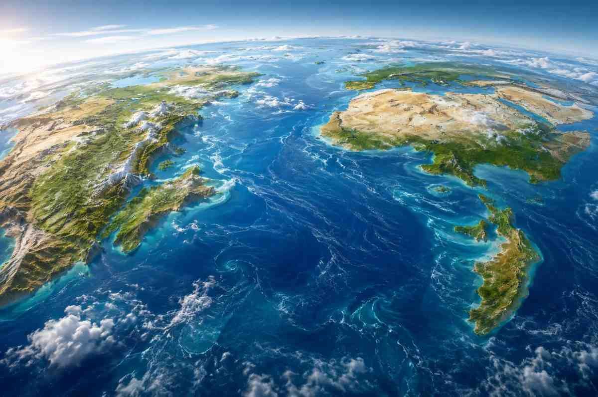
Oceans Are the Framework Behind Earth’s Geography
Oceans are not simply large bodies of water separating continents. They help define the physical geography of the planet by influencing the formation and arrangement of landmasses over millions of years.
The boundaries of continents are shaped by their relationship with surrounding oceans. Coastal regions, river systems, mountain ranges, and even inland landscapes are often connected to ocean-driven processes. Without oceans, the Earth’s geography would look dramatically different, and many of the environments that support human life would not exist in their current form.
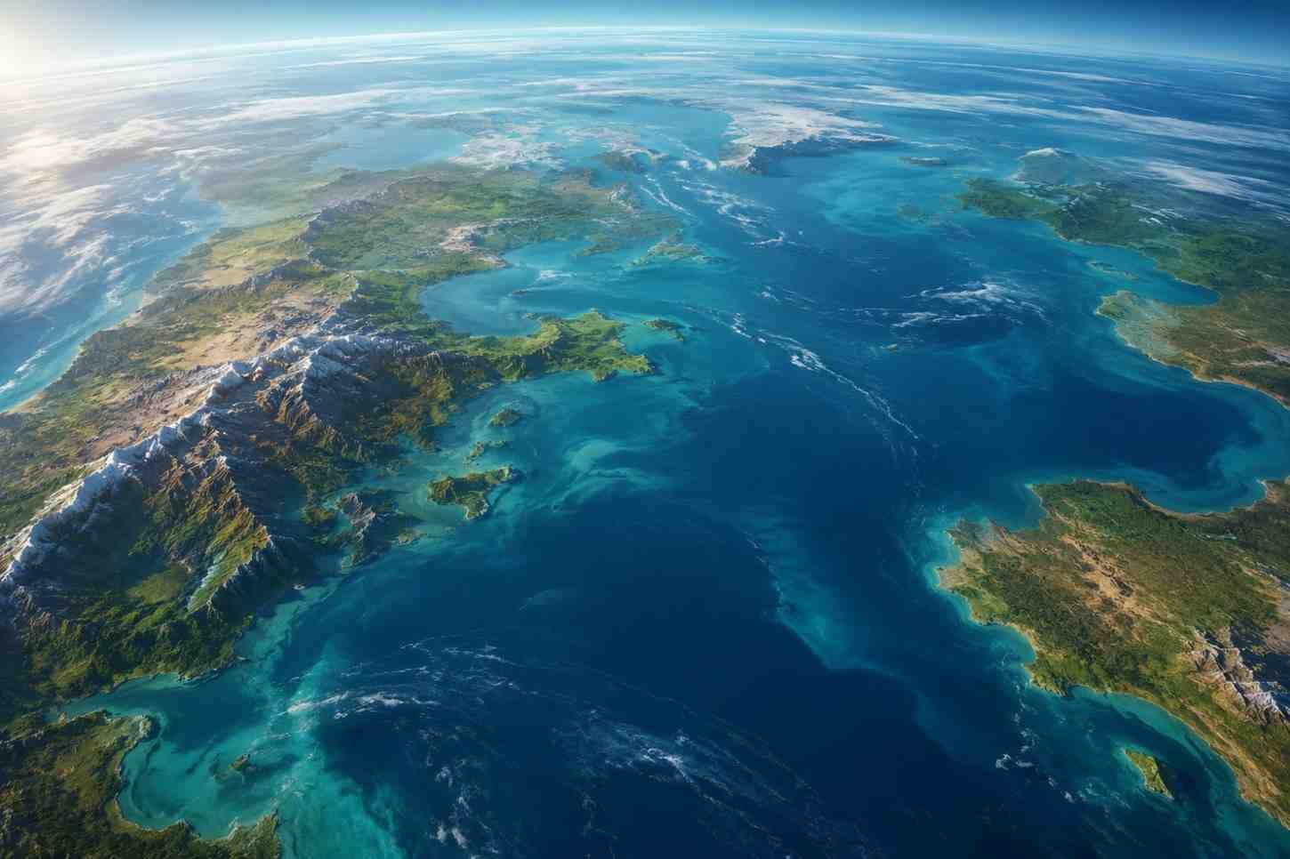
How Oceans Shape Coastlines Over Time
Coastlines are among the most dynamic geographical features on Earth. They constantly evolve as oceanic forces interact with land.
Erosion, Deposition, and Coastal Change
Waves, tides, and currents continuously reshape coastal regions. Erosion gradually breaks down rocky cliffs and shorelines, carrying sediment away from one area and depositing it in another.
At the same time, longshore drift moves sand and sediment along the coast, creating beaches, barrier islands, and sand spits. These natural processes can alter the appearance of a coastline within decades.
Sea-level fluctuations also play a significant role. Rising waters can flood low-lying areas, forming estuaries and fjords, while falling sea levels expose new land. In regions where tectonic activity occurs beneath the ocean floor, underwater earthquakes and volcanic activity can raise or lower sections of coastline, permanently changing the landscape.
Creating Distinct Continental Landforms
The influence of oceans reaches far beyond the shoreline. Their interaction with tectonic plates has shaped some of the world’s most recognizable landforms.
When oceanic plates collide with continental plates, immense geological pressure forces land upward, creating mountain ranges. The Andes, for example, owe much of their existence to the movement of tectonic plates beneath the Pacific Ocean.
Volcanic activity associated with ocean trenches can also form island chains. Japan, Indonesia, and many Pacific islands emerged through these geological processes.
Ocean evaporation contributes to rainfall patterns that carve valleys and river basins across continents. Over time, these waterways shape landscapes, transport nutrients, and create fertile agricultural regions. Many of today’s productive plains were once ancient seabeds that accumulated layers of sediment over millions of years.
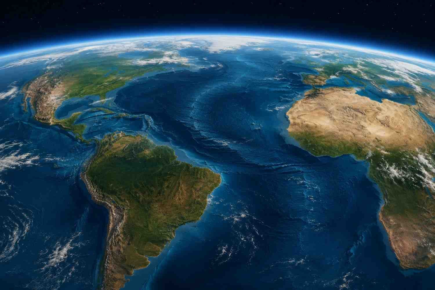
The Link Between Oceans and Climate Patterns
Few forces influence climate as significantly as oceans. They act as a global thermostat, storing and distributing heat across the planet.
Ocean Currents as Global Climate Regulators
Ocean currents move warm and cold water around the globe, influencing temperatures far beyond coastal regions. This system, often called the global conveyor belt, helps moderate weather patterns and supports diverse ecosystems.
Warm currents can raise temperatures in higher latitudes, while cold currents cool nearby coastal areas. These temperature shifts affect rainfall, vegetation, and agricultural productivity.
Some of the world’s driest regions owe their existence to ocean currents. The Atacama Desert, for instance, remains extremely arid because cold ocean waters reduce moisture in the atmosphere. In contrast, monsoon systems develop when seasonal temperature differences between land and ocean create large-scale shifts in wind and rainfall patterns.
Ocean-generated moisture also interacts with mountain ranges. As moist air rises over coastal mountains, it releases precipitation on one side while leaving the opposite side dry, creating rain shadow effects that shape regional geography.
Why Major Cities Often Develop Near Oceans
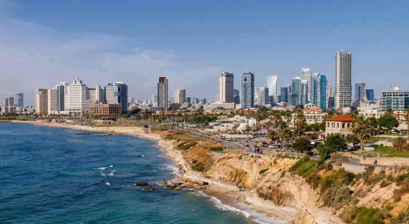
Many of the world’s largest cities share one important characteristic: proximity to the ocean.
Natural harbors have historically provided safe locations for ships, making coastal regions ideal centers for commerce and transportation. As maritime trade expanded, cities near major ports became hubs for economic activity, cultural exchange, and population growth.
Today, coastal cities continue to play a critical role in global trade networks. Ports handle enormous volumes of goods each year, connecting producers, consumers, and businesses across continents.
This concentration of economic opportunity explains why coastal regions often support higher population densities than inland areas. Access to transportation corridors, trade routes, and marine resources creates conditions that encourage long-term growth.
Oceans and the Movement of Goods, People, and Ideas
Oceans have connected civilizations for thousands of years. Long before airplanes and digital communication, sea routes enabled exploration, migration, and cultural exchange.
Trade across oceans allowed societies to exchange goods, technologies, languages, and traditions. Many modern economies still depend heavily on international shipping, with most global trade moving by sea.
The influence of oceans can even be seen in political geography. While water often separates nations, it can also create connections between neighboring regions. In contrast to maritime boundaries, some longest international borders developed across vast continental landmasses where geographic conditions encouraged direct interaction between countries.
This balance between separation and connection continues to shape how nations cooperate, trade, and manage shared resources.
Frequently Asked Questions: How Oceans Influence Global Geography From Coastlines to Continents
1. What is the role of oceans in global geography?
Oceans shape coastlines, influence climate patterns, affect settlement locations, support trade networks, and contribute to the formation of major landforms across continents.
2. How do oceans affect climate?
Oceans absorb, store, and redistribute heat through ocean currents. This process influences temperatures, rainfall patterns, weather systems, and seasonal climate conditions around the world.
3. Why are most major cities located near oceans?
Coastal locations provide access to trade routes, natural harbors, transportation infrastructure, and economic opportunities that support population growth and urban development.
4. How do oceans influence continental landforms?
Oceans interact with tectonic plates, drive erosion and deposition processes, generate rainfall that shapes river systems, and contribute to the formation of mountains, islands, and fertile plains.
The Water That Quietly Shapes Everything
It’s easy to think of oceans as the spaces between continents, but they are far more than that. They shape coastlines, influence weather, drive trade, support ecosystems, and determine where people live and work. Nearly every aspect of modern geography is connected in some way to the movement and power of the world’s oceans. Even regions located hundreds of miles inland often owe their landscapes, climate, and economic opportunities to ocean-driven processes that began far beyond the horizon.
The next time you look at a map, the water may be the most important feature you see.