If you’ve ever looked at a world map and wondered how countries are separated, you’re not alone. Borders may appear as simple lines on paper, but they often stretch across mountains, deserts, forests, rivers, and entire regions that shape how people live, travel, and trade. Some of these boundaries extend for thousands of miles, connecting neighboring nations while also defining their political identities.
The world’s longest international borders are more than geographic markers. They influence transportation networks, economic cooperation, border security, environmental management, and cultural exchange. From frozen northern landscapes to bustling river regions, these frontiers reveal how geography continues to shape modern nations in surprising ways.
What Makes an International Border Significant?
An international border is the officially recognized boundary between two sovereign countries. While some borders are clearly defined by natural features such as mountain ranges and rivers, others are the result of historical treaties, political agreements, and territorial negotiations.
The purpose of a border often goes beyond its length. Long international boundaries can affect trade routes, immigration policies, infrastructure development, and international relations. In many cases, communities on both sides share languages, traditions, and economic ties despite belonging to different countries.
Some Longest International Borders Across the World
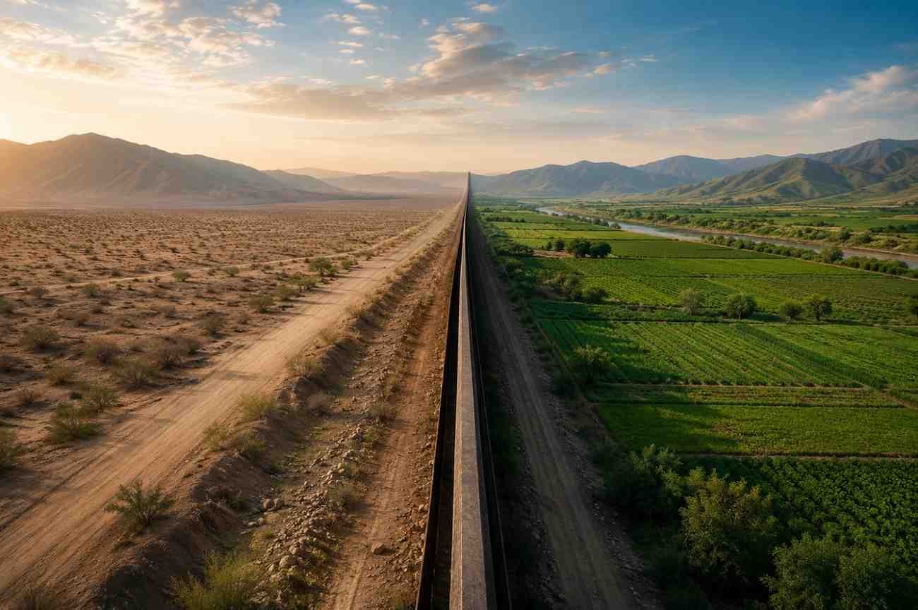
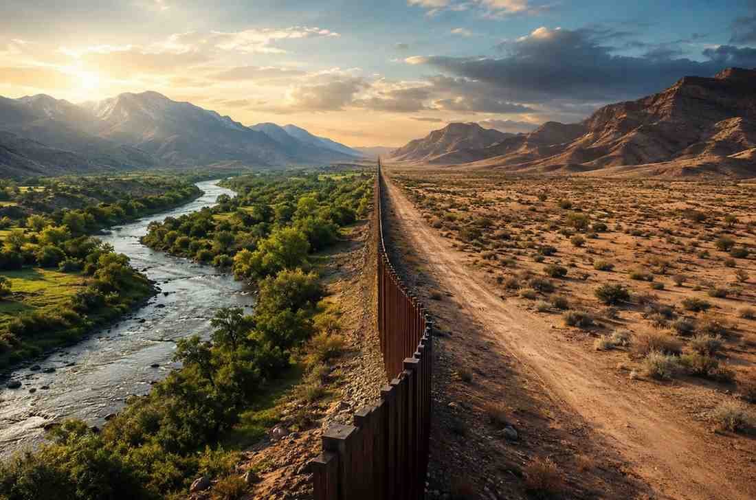
International land borders shape geopolitics, trade, and culture. While some are heavily monitored, others pass through remote landscapes with minimal physical barriers. Below are some longest international borders that continue to influence regional development and global geography.
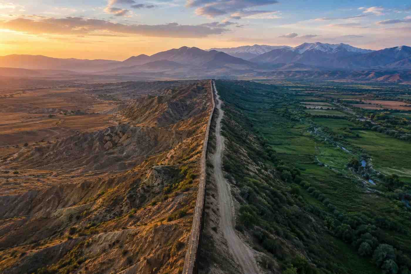
Canada–United States
The Canada–United States border is the longest international border in the world, stretching approximately 8,893 kilometers (5,526 miles). It extends from the Atlantic coast to the Pacific Ocean and is divided into two sections by Alaska.
Often described as the world’s longest undefended border, it serves as a major corridor for trade, tourism, and transportation. Every year, millions of people and billions of dollars in goods cross this boundary. Despite its size, cooperation between the two countries has helped maintain one of the most stable international relationships in modern history.
The border also passes through forests, lakes, mountains, and agricultural regions, demonstrating how natural landscapes can coexist with political boundaries.
Kazakhstan–Russia
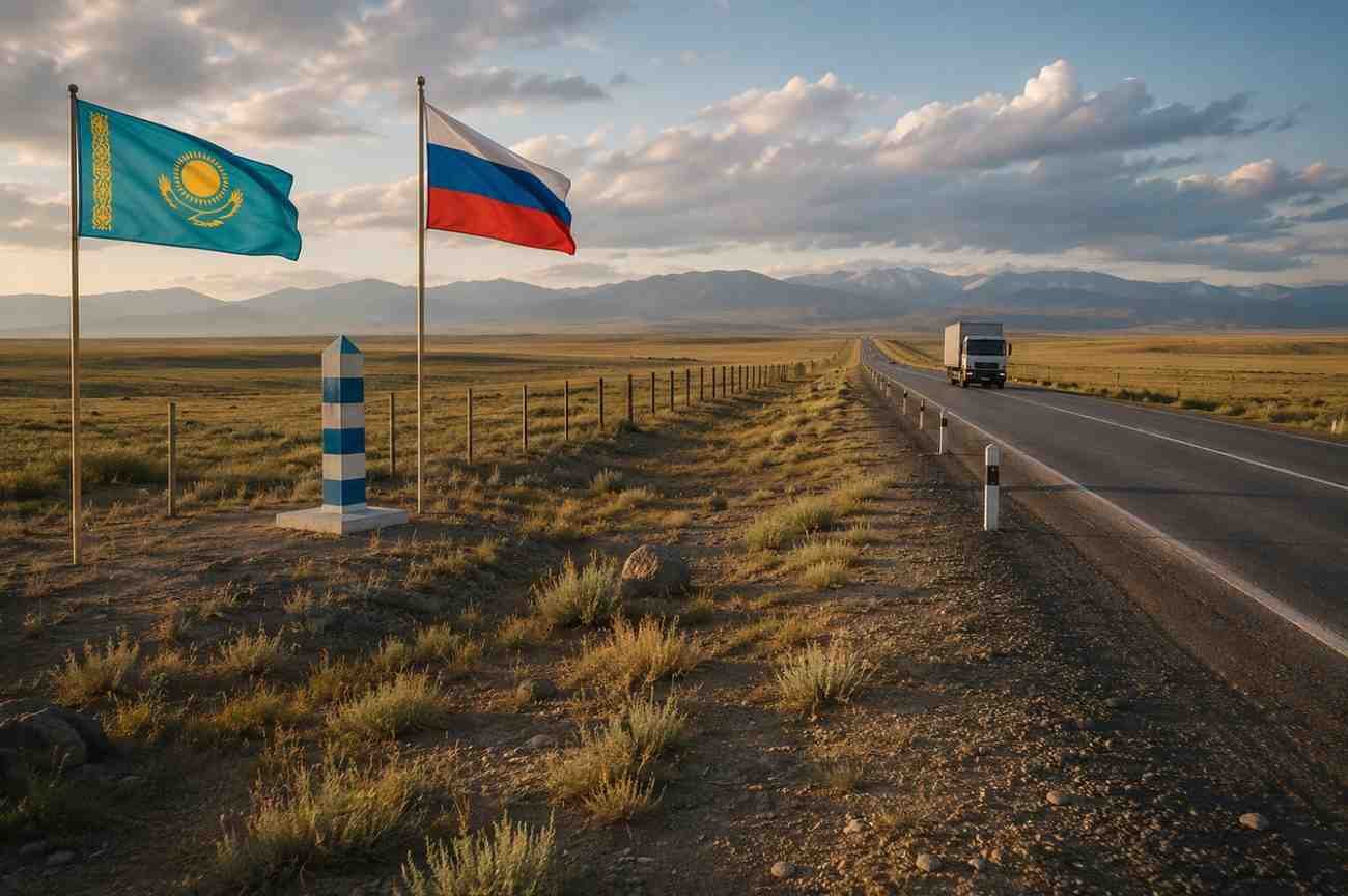
At 7,644 kilometers, the Kazakhstan–Russia border ranks as the world’s longest continuous land border. It stretches across vast grasslands and open steppes that have historically supported trade and migration.
This border plays a significant role in regional commerce and transportation. Major rail and road networks connect the two countries, making it an important transit route linking Europe and Central Asia.
Unlike many heavily fortified borders around the world, large portions of this frontier pass through sparsely populated areas, creating what is often referred to as a “green border.”
Argentina–Chile
The border between Argentina and Chile extends for approximately 6,691 kilometers, making it the longest international border in South America.
What makes this boundary unique is its relationship with the Andes Mountains. Many sections follow rugged mountain peaks, glaciers, and remote valleys that create natural divisions between the two nations.
The geography presents both challenges and opportunities. While the mountainous terrain can make transportation difficult, it also contributes to tourism, environmental conservation, and scientific research. The region attracts visitors interested in hiking, mountaineering, and exploring some of the continent’s most dramatic landscapes.
China–Mongolia
Stretching roughly 4,630 kilometers, the China–Mongolia border cuts through diverse terrain, including grasslands, rocky plateaus, and portions of the vast Gobi Desert.
Historically, this frontier has been associated with ancient trade routes that connected different civilizations across Asia. Today, it remains important for economic cooperation, mining activities, and cross-border commerce.
The surrounding landscapes showcase how international boundaries often intersect with ecosystems that extend far beyond political divisions. Wildlife migration, environmental protection, and resource management continue to be important considerations throughout the region.
Bangladesh–India
The Bangladesh–India border spans approximately 4,142 kilometers and is known for its complexity. Numerous rivers, floodplains, and densely populated areas make this one of the most distinctive international boundaries in the world.
Historically connected to the Radcliffe Line, this border has played a significant role in shaping regional politics and population movements. Infrastructure projects, security measures, and trade facilities continue to evolve along the frontier.
West Bengal contains the longest section of the border, while extensive river systems create unique administrative and geographic challenges. Managing such a dynamic boundary requires ongoing coordination between both countries.
Why Long Borders Matter Beyond Geography
The world’s longest borders do much more than separate nations. They influence everyday life in ways many people never consider.
Some of their most important functions include:
- Supporting cross-border trade and transportation networks
- Facilitating cultural exchange between neighboring communities
- Managing shared natural resources and ecosystems
- Strengthening regional economic cooperation
- Addressing border security and migration challenges
In many regions, border areas become hubs of economic activity because businesses benefit from access to multiple markets. These connections often help support jobs, infrastructure investment, and regional growth.
How Borders Shape Communities
For people living near international boundaries, borders are part of daily life rather than distant political concepts. Residents often share cultural traditions, family ties, food habits, and commercial relationships that cross national lines.
Understanding these interactions helps explain broader global geography concepts that influence migration patterns, economic development, and regional cooperation. Border communities frequently demonstrate how neighboring countries can remain connected even while maintaining distinct national identities.
Modern infrastructure projects, transportation corridors, and communication systems have further strengthened these relationships. As a result, many border regions function as important gateways for commerce, tourism, and cultural exchange.
Frequently Asked Questions: Exploring Some Longest International Borders Across the World
1. What is the longest international border in the world?
The Canada–United States border is the longest international border in the world, measuring approximately 8,893 kilometers (5,526 miles).
2. Which border is the longest continuous land border?
The Kazakhstan–Russia border is considered the world’s longest continuous land border, extending about 7,644 kilometers.
3. Why are international borders important?
International borders help define political territories, regulate trade and travel, support security measures, and influence economic and cultural relationships between countries.
4. Do natural features often determine borders?
Yes. Many international boundaries follow natural features such as rivers, mountain ranges, deserts, and lakes because these landmarks create clear geographic divisions.
The Lines That Shape More Than Maps
When viewed from above, international borders may seem like simple lines separating countries. In reality, they represent centuries of history, geographic realities, political decisions, and human interaction. The longest borders in the world influence everything from trade and transportation to environmental stewardship and cultural exchange. They connect communities, support economies, and shape how nations cooperate with one another.
The next time you look at a map, those lines may appear a little less ordinary. Behind every long border is a story of geography, people, and the connections that continue to shape our world.