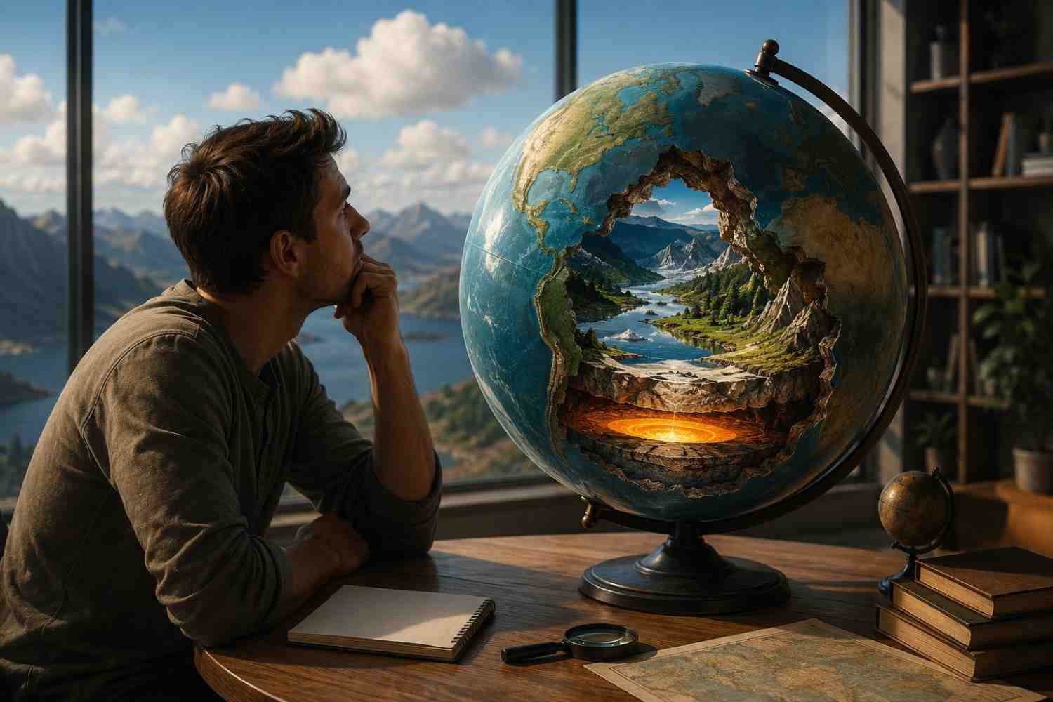
Most of us first learn geography through maps hanging on classroom walls. We memorize continents, oceans, countries, and capitals, then move on. The problem is that maps often simplify a world that is far stranger than it appears at first glance.
Once you start digging deeper, geography becomes less about memorization and more about discovery. Some of the most interesting world geography facts challenge things many people assume are true. From frozen deserts to neighboring nations separated by only a few miles, the planet is filled with surprises that reveal how complex and fascinating Earth really is.
The Planet Doesn’t Always Follow the Rules We Learn in School
Many geography facts sound wrong when you hear them for the first time. That’s because they often challenge definitions we think we already understand.
Antarctica Is the World’s Largest Desert
When most people hear the word “desert,” they picture endless sand dunes and scorching temperatures. Geography tells a different story.
A desert is defined by the amount of precipitation it receives rather than its temperature. Antarctica receives very little rain or snowfall each year, making it the largest desert on Earth. In fact, it covers a much larger area than the Sahara.
This fact is a reminder that geography often depends on scientific definitions rather than popular assumptions.
Mauna Kea Is Taller Than Mount Everest
Mount Everest holds the title of the highest mountain above sea level at 8,848 meters. However, sea level only tells part of the story.
Mauna Kea in Hawaii rises from the ocean floor. When measured from its true base beneath the Pacific Ocean to its summit, it exceeds 10,000 meters in height. That makes it taller than Everest by total vertical distance.
The way we measure geographic features can completely change how we view them.
Africa Crosses All Four Hemispheres
Africa is the only continent that stretches across the Northern, Southern, Eastern, and Western Hemispheres.
The Equator passes through the continent, dividing it between north and south. At the same time, the Prime Meridian cuts through western Africa, placing parts of the continent in both the eastern and western halves of the globe.
This unique position contributes to Africa’s remarkable diversity of climates, ecosystems, and landscapes.
Maps Can Be More Misleading Than They Look
Maps help us understand the world, but they can also distort how we think about distance and location.
The United States and Russia Are Almost Neighbors
Many people imagine the United States and Russia on opposite sides of the world. In reality, they come surprisingly close.
Little Diomede Island belongs to the United States, while Big Diomede Island belongs to Russia. The two islands sit only about 2.4 miles apart in the Bering Strait.
During winter, when sea ice forms between them, the distance is short enough that the two nations seem almost connected. It is one of the most surprising examples of how geography can challenge perception.
Maine Is the Closest U.S. State to Africa
At first glance, many people assume Florida is the closest state to Africa because of its southern location.
However, the easternmost point of Maine extends farther into the Atlantic Ocean. When measured directly across the ocean, Maine is actually closer to Africa than any other U.S. state.
This fact highlights how traditional map projections can sometimes distort our understanding of direction and distance.
France Has More Time Zones Than Any Other Country
Russia often comes to mind when discussing multiple time zones. Yet France technically holds the record.
Because of its overseas territories located throughout the Caribbean, Pacific, Indian Ocean, and South America, France spans 12 different time zones.
It’s an example of how geography extends beyond mainland borders and reflects historical connections around the world.
Geography Gets Even Stranger When Water Is Involved
Some of the world’s most fascinating geographic features involve lakes, islands, rivers, and oceans.
A Tiny Island Inside a Lake Inside an Island
The Philippines is home to one of the most remarkable examples of recursive geography.
On the island of Luzon sits Lake Taal. Within Lake Taal is Volcano Island. Inside Volcano Island lies a crater lake. And within that crater lake is a small island known as Vulcan Point.
It sounds like something from a geography puzzle, yet it exists in the real world.
Why Waterways Continue to Shape Human History
Water has always influenced where people settle, trade, and build civilizations. Even in an age of air travel and digital communication, rivers, canals, and shipping routes remain essential to global commerce.
Many of the important waterways of the world continue to handle enormous volumes of international trade. Routes such as the Panama Canal, the Suez Canal, and major river systems connect producers, consumers, and economies across continents.
Geography is not just about landscapes. It continues to shape the movement of goods, people, and ideas every day.
The Border Between Canada and Europe Actually Exists
Some geographic facts sound impossible until you look closer.
Canada Shares a Land Border With Denmark
For years, Canada and Denmark engaged in one of the world’s most peaceful territorial disputes over Hans Island, a small piece of land located between Greenland and Canada’s Nunavut territory.
In 2022, the two countries reached an agreement to divide the island. As a result, Canada now shares a land border with Denmark through Greenland, an autonomous territory within the Kingdom of Denmark.
It is one of the most unexpected international borders on Earth.
Geography Shapes Daily Life More Than We Realize
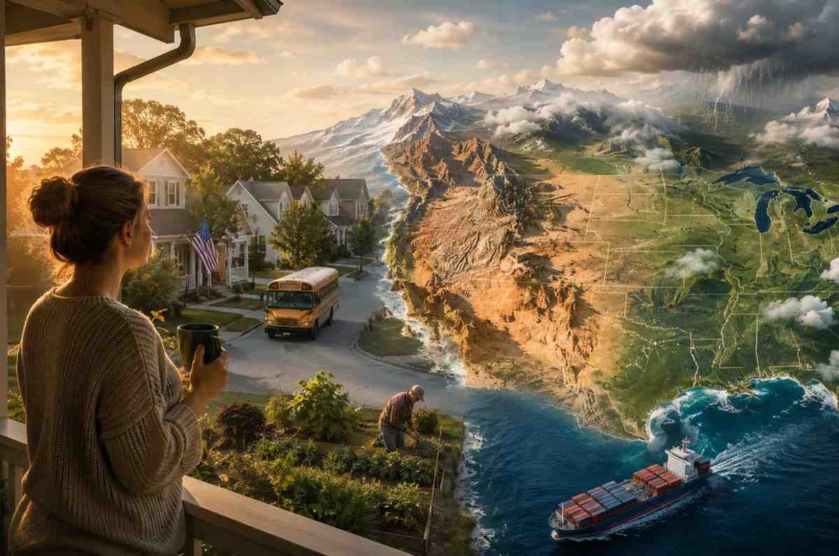
Many people think geography is mainly about maps and trivia. In reality, it influences daily life in countless ways.
Climate affects agriculture. Rivers support transportation networks. Mountains shape settlement patterns. Coastlines influence trade and economic growth. Even modern supply chains depend heavily on geographic features that were formed thousands or millions of years ago.
The places we live, the food we eat, and the products we buy are often connected to geography in ways we rarely notice.
FAQs: Interesting World Geography Facts That Challenge What We Think We Know
1. Why is Antarctica considered a desert?
Antarctica receives extremely low amounts of precipitation each year. Since deserts are defined by dryness rather than temperature, it qualifies as the world’s largest desert.
2. Is Mauna Kea really taller than Mount Everest?
Yes, when measured from its base on the ocean floor. Everest remains the tallest mountain above sea level.
3. Which continent crosses all four hemispheres?
Africa is the only continent that extends across the Northern, Southern, Eastern, and Western Hemispheres.
4. Does Canada actually share a border with Denmark?
Yes. Following an agreement over Hans Island, Canada and Denmark now share a small land border.
Why Geography Never Stops Surprising Us
The most fascinating thing about geography is that it constantly challenges assumptions. A frozen continent can be a desert. A mountain hidden beneath the ocean can be taller than Everest. Countries that seem worlds apart can sit only a few miles from one another. The deeper you look, the more you realize that Earth’s geography is filled with unexpected connections and contradictions.
Maps show us where things are. Geography helps us understand why they matter.