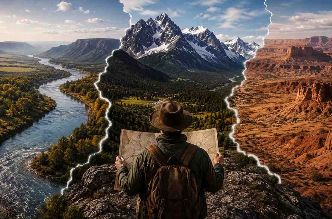
Open any map, and it is easy to focus on the lines. Borders separate countries, states, and regions, giving the impression that human decisions alone created the world we know today. Yet long before governments drew boundaries, nature had already done much of the work.
Rivers, mountains, deserts, and oceans influenced where people settled, how civilizations grew, and which regions became centers of power. Some geographic boundaries protected societies from invasion, while others encouraged trade and cultural exchange. Even today, many political borders, trade routes, and regional identities can be traced back to natural features that shaped human history for centuries.
The First Boundaries Were Created by Nature
Before roads, railways, and air travel connected distant places, geography determined what was possible. Communities settled where resources were available, and natural barriers often defined how far they could expand.
Rivers provided fresh water, fertile land, and transportation. Mountains offered protection but also isolation. Deserts limited movement, while coastlines connected societies to wider networks of trade and exploration.
These natural boundaries did more than separate people. They influenced economies, military strategies, migration patterns, and cultural development. In many ways, geography acted as an invisible force guiding the course of history.
Rivers That Helped Build Civilizations
Many of the world’s earliest civilizations emerged along major river systems. These waterways functioned as the highways of the ancient world, allowing goods, ideas, and people to move more efficiently than overland travel.
The Tigris and Euphrates Rivers supported the rise of Mesopotamia, often called the cradle of civilization. Reliable water supplies and fertile floodplains allowed agriculture to flourish, helping cities grow into powerful centers of trade and governance.
The Nile River played a similar role in Egypt. Its predictable flooding created fertile farmland that sustained one of history’s longest-lasting civilizations. At the same time, the river served as a transportation corridor that helped unify regions under a single political system.
Farther north, the Rhine River influenced the expansion of the Roman Empire. It acted as both a trade route and a defensive boundary, shaping political divisions that continued to influence Europe long after Rome declined.
These examples show how geographic boundaries that shaped history were often just as important for connecting people as they were for separating them.
Mountains That Changed the Course of Nations
If rivers connected civilizations, mountains often defined their limits.
The Pyrenees created a natural divide between the Iberian Peninsula and the rest of Europe. Their strategic importance became even more significant after the Treaty of the Pyrenees in 1659, which helped formalize political boundaries in the region.
The Himalayas remain one of the most influential geographic features on Earth. Separating the Indian subcontinent from the Tibetan Plateau, they shaped trade, migration, climate patterns, and cultural development across Asia. Their sheer scale limited interaction between regions while also creating distinct identities on either side of the range.
The Alps played a similar role in Europe. For centuries, they protected the Italian Peninsula and influenced military campaigns. Hannibal’s famous crossing during the Second Punic War remains one of history’s most remarkable examples of overcoming a natural barrier.
Mountain ranges often served as natural fortresses, but they also encouraged unique cultural development by limiting outside influence. Many regional traditions, languages, and identities survived because geographic isolation slowed cultural blending.
When Boundaries Became Pathways
It is tempting to think of boundaries only as obstacles. History suggests otherwise.
Many natural barriers eventually became important routes for trade and cultural exchange. River valleys connected distant communities. Mountain passes allowed merchants to transport goods across regions. Coastal routes linked civilizations separated by vast distances.
The Silk Road, for example, depended heavily on geographic features that guided travelers through challenging terrain. Rather than preventing interaction, geography often directed where interaction occurred.
Understanding this balance helps explain why certain regions became centers of commerce and cultural exchange. Geography rarely stopped human movement completely. Instead, it influenced the paths people chose.
This idea also appears in discussions about how continents are divided around the world. Physical geography certainly plays a role, but history, culture, and political interpretation often influence where people place boundaries and how they define regions.
Why Historical Boundaries Still Matter Today?
Many modern borders reflect decisions made centuries ago, often based on natural geographic features.
The Rio Grande serves as an example of how rivers continue to shape political boundaries. While it functions as part of the international border between the United States and Mexico, changing river channels have occasionally created disputes that required treaties and legal agreements.
Natural boundaries also influence smaller political divisions. Rivers define portions of numerous state borders, demonstrating that geographic features remain practical reference points even in modern governance.
Beyond politics, historical boundaries continue to influence cultural identities, economic relationships, transportation networks, and regional traditions. Many areas that share a common river basin, mountain range, or geographic region often maintain strong connections despite existing within different political borders.
Maps may change over time, but geography continues to leave a lasting imprint on human societies.
FAQs: From Rivers to Mountains: Geographic Boundaries That Shaped History
1. Why were rivers important to early civilizations?
Rivers provided water, fertile soil, transportation routes, and reliable resources that supported agriculture, trade, and population growth.
2. How did mountains influence historical boundaries?
Mountains acted as natural barriers that limited movement, protected regions from invasion, and encouraged distinct cultural development.
3. Are modern borders still influenced by natural geography?
Yes. Many national and regional borders continue to follow rivers, mountain ranges, and other geographic features established long ago.
4. Can geographic boundaries encourage interaction instead of separation?
Absolutely. Rivers, coastal routes, and mountain passes often became major trade corridors that connected cultures and economies.
The Lines on Maps Rarely Stay in the Past
Geographic boundaries are often viewed as static features, but their influence extends far beyond physical landscapes. Rivers that once sustained ancient cities continue to support modern economies. Mountain ranges that protected kingdoms still shape transportation networks, cultural identities, and political discussions. Even when borders change, the geographic realities beneath them remain remarkably consistent.
History may be written by people, but geography has always helped shape the story.