


Most of us grow up believing there are seven continents. It feels like one of those basic facts everyone learns in school and never questions again. Yet if you ask someone from another part of the world how many continents exist, you might get a completely different answer.
That surprising disagreement is exactly why geographers, historians, and educators continue discussing how continents are divided around the world. Unlike mountains, rivers, or oceans, continents are not defined by a single universal scientific rule. Instead, they sit at the intersection of geography, history, culture, and human interpretation.
A Simple Question With More Than One Answer

At first glance, defining a continent seems straightforward. A continent is a large landmass separated by oceans, right?
The problem is that the real world is not quite that neat.
Some continents are clearly separated by water, while others share continuous land. Europe and Asia, for example, exist on the same connected landmass. North and South America are linked by the Isthmus of Panama. These realities make it difficult to create one definition that satisfies every geographic situation.
As a result, continents are often viewed as cultural and historical categories as much as physical ones.
This is one reason many educators include continent classification among the most interesting world geography facts, because something that appears universally agreed upon turns out to have several accepted interpretations.
The Debate Begins With Eurasia
The biggest source of disagreement centers on Europe and Asia.
From a geological perspective, Europe and Asia are part of one continuous landmass known as Eurasia. There is no ocean separating them, and many scientists point out that their division is not based on a clear physical boundary.
So why are they considered separate continents?
The answer goes back thousands of years. Ancient Greek scholars divided the known world into regions based largely on cultural and political distinctions rather than geology. Over time, these classifications became deeply rooted in education, maps, and public understanding.
Today, many countries continue teaching Europe and Asia as separate continents, while others adopt a Eurasian model that combines them into one.
This historical influence demonstrates how geography is often shaped by human perspectives as much as natural features.
The Americas Create Another Layer of Complexity
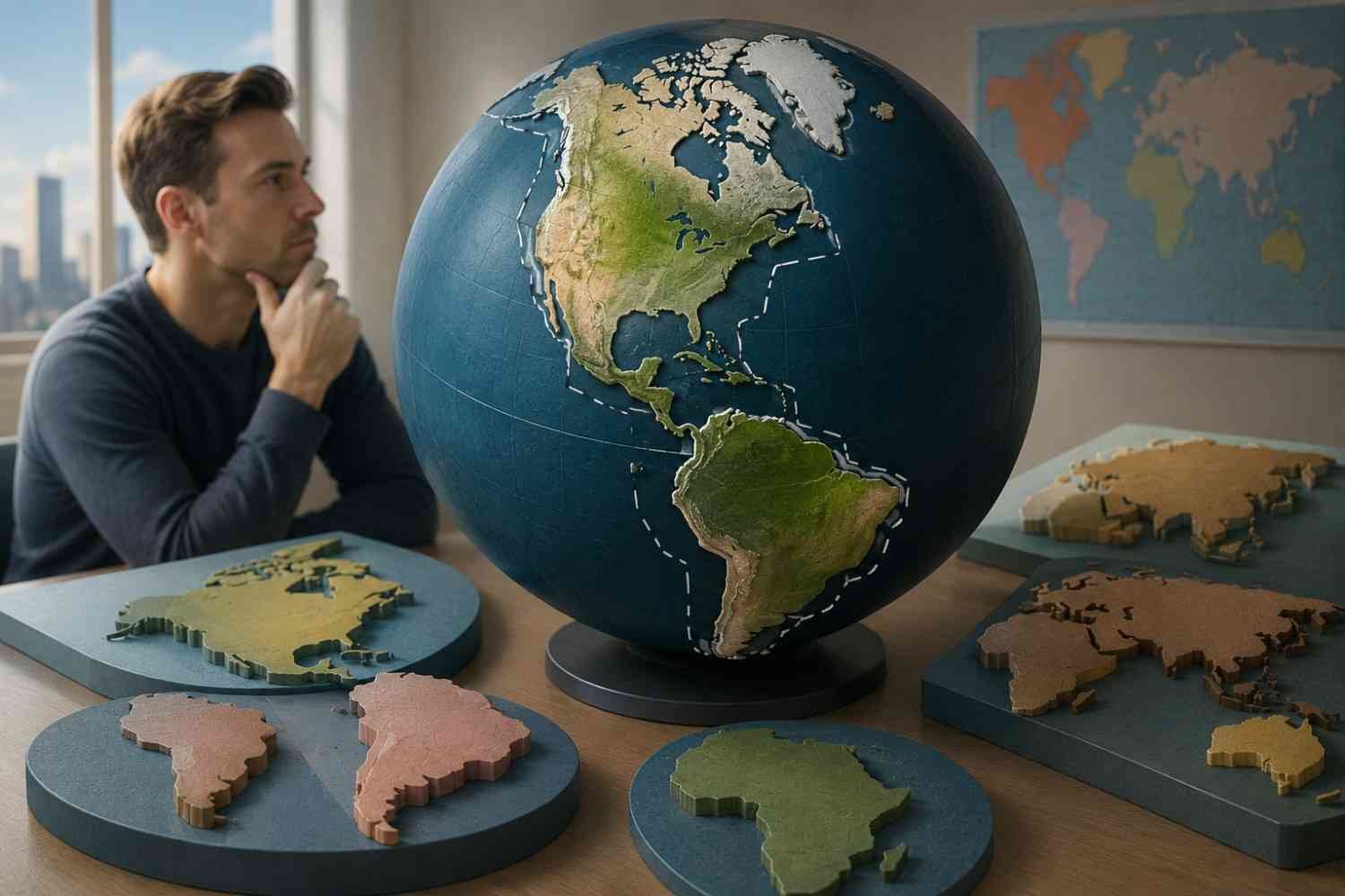
Europe and Asia are not the only sources of debate.
North America and South America are commonly taught as separate continents in many schools. However, they are connected by the narrow Isthmus of Panama, which raises another question: should they be considered one continent or two?
Different regions answer that question differently.
In many parts of Latin America, students learn that America is a single continent. Under this approach, North America and South America are viewed as regions within a larger continental unit rather than separate continents.
This difference explains why people from different educational systems sometimes learn entirely different continent counts despite studying the same world map.
Geography and Geology Do Not Always Agree
One reason continent classification remains controversial is that geologists often approach Earth differently from traditional geography.
When geologists study the planet, they focus on tectonic plates rather than continent names. These massive sections of Earth’s crust move slowly over millions of years and shape mountains, earthquakes, and volcanic activity.
If continents were defined strictly by geological structure, the familiar seven-continent model would look very different.
Earth contains roughly fifteen major and minor tectonic plates, and their boundaries rarely align with traditional continental divisions. This means the continents we recognize today are not purely scientific units but practical geographic concepts developed over centuries.
For geologists, the continent debate highlights the difference between physical science and human classification systems.
Why do different countries teach different models?

Many people are surprised to learn that there is no single global standard for continent classification.
Educational systems around the world teach different models depending on historical traditions and regional perspectives.
The most common models include:
The Seven-Continent Model
This model recognizes North America, South America, Europe, Asia, Africa, Australia or Oceania, and Antarctica. It is widely taught in countries such as the United States and China.
The Six-Continent Eurasia Model
This approach combines Europe and Asia into Eurasia while keeping North and South America separate.
The Six-Continent America Model
In this model, the Americas are treated as one continent while Europe and Asia remain separate.
The Five-Continent Model
This version combines both Eurasia and the Americas, resulting in five continents. It is famously reflected in the symbolism of the Olympic Rings.
None of these systems is universally considered wrong. Each reflects a different way of understanding Earth’s geography.
More Than Lines on a Map
The continent debate reveals something important about geography. Many geographic concepts are not simply discovered; they are created and refined by people trying to understand the world around them.
Maps often appear objective, but they are influenced by history, politics, education, and culture. The way continents are divided around the world reflects centuries of exploration, trade, migration, and changing worldviews.
What seems like a fixed fact today may actually be the result of generations of human decisions.
That is what makes this topic so fascinating. It reminds us that geography is not only about land and water. It is also about how societies choose to organize and interpret the planet.
FAQs: Why There Is Debate About How Continents Are Divided Around the World
1. How many continents are there in the world?
The answer depends on the model being used. Different educational systems recognize between five and seven continents.
2. Why are Europe and Asia considered separate continents?
Their separation is largely historical and cultural rather than geological, despite being part of the same landmass.
3. Are North and South America one continent?
Some countries teach them as separate continents, while others consider them part of a single continental unit called America.
4. What do geologists use instead of continents?
Geologists often focus on tectonic plates because they reflect Earth’s physical structure more accurately than traditional continent boundaries.
The Lines on the Map Are Not as Fixed as They Seem
The debate over continents shows that some of the world’s most familiar facts are not as settled as they appear. What many people learn as a simple geography lesson is actually a blend of science, history, culture, and tradition. The number of continents depends largely on how societies choose to interpret the planet’s landmasses, which is why different models continue to coexist today.
Sometimes the most interesting questions in geography are the ones that seem easiest to answer.